The South Pacific storm, equivalent to a category 4 hurricane in the Northern Hemisphere, unleashed maximum sustained winds of up to 135 mph on Fiji’s main island, Viti Levu and just offshore to the west and northwest.
Wunderground’s Jeff Masters writes Evan is the strongest cyclone to strike Fiji’s main island as far as records go back (1941).
Nadi, a tourist town along the west coast of Viti Levu, recorded a wind gust of 104 mph.
One News (out of New Zealand) reported Evan ripped off roofs, grounded ships and flooded homes. Another New Zealand press outlet (Stuff\\\) said the country’s second largest city, Lautoka, resembled a war zone. Ahead of the storm, 3,500 people were moved to emergency structures.
Smaller islands popular with tourists offshore (Yasawa and Mamanucas, for example) experienced a direct hit with the storm’s eye moving directly overhead.

REPORTED...........

Intense tropical cyclone Evan is forecast to strike Fiji at about 02:00 GMT on 17 December.Data supplied by the US Navy and Air Force Joint Typhoon Warning Centersuggest that the point of landfall will be near16.1 S,177.0 E.Evan is expected to bring 1-minute maximum sustained winds to the region of around 203 km/h (126 mph).Wind gusts in the area may be considerably higher.
According to the Saffir-Simpson damage scale the potential property damage and flooding from a storm ofEvan'sstrength (category 3)at landfall includes:
- Storm surge generally 2.7-3.7 metres (9-12 feet) above normal.
- Some structural damage to small residences and utility buildings with a minor amount of curtainwall failures.
- Damage to shrubbery and trees with foliage blown off trees and large trees blown down.
- Mobile homes and poorly constructed signs are destroyed.
- Low-lying escape routes are cut by rising water 3-5 hours before arrival of the centre of the storm.
- Flooding near the coast destroys smaller structures with larger structures damaged by battering from floating debris.
- Terrain continuously lower than 1.5 metres (5 feet) above mean sea level may be flooded inland 13 km (8 miles) or more.
- Evacuation of low-lying residences within several blocks of the shoreline may be required.
the path of Evan - moving over Wallis/Futuna as a cat 3, making a loop over Samoa as a cat 3/4 intensifying into a cat 4 over Fiji.
Naciriyawa Farm is situated halfway between Nadi and Lautoka. 14km from Nadi Town and 12 km from Lautoka.

Evan moved right over our farm as a severe cyclone category 4/5.
and 12 hours later........
It took many months and lots of energy from many hands to build Naciriyawa Farm up and within 12 hours- all our combined efforts were nullified.
We wandered around our land
and could just stare at the devastation.
When we started clearing our land in November 2011, it was seriously overgrown.
but now , we have huge trees and branches that have been torn and tossed around.
Initially after the cyclone, the vegetation was thick and green .....
but within days , the leaves dried up and turned brown.
The rain stayed away
and more crops were lost due to the dry heat.
We were lucky that we lost no animals.
and then.....
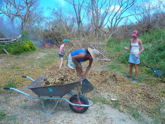
it was time to start cleaning up.....
Friends came over and lend helping hands.....
every day as much as we can.....


No comments:
Post a Comment